Category Archives: Miscellaneous
99 Per Cent Of Sweden’s Garbage Is Now Recycled (VIDEO)
There’s a “recycling revolution” happening in Sweden – one that has pushed the country closer to zero waste than ever before. In fact, less than one per cent of Sweden’s household garbage ends up in landfills today.
The Scandinavian country has become so good at managing waste, they have to import garbage from the UK, Italy, Norway and Ireland to feed the country’s 32 waste-to-energy (WTE) plants, a practice that has been in place for years.
“Waste today is a commodity in a different way than it has been. It’s not only waste, it’s a business,” explained Swedish Waste Management communications director Anna-Carin Gripwell in a statement.
Read more at https://www.huffingtonpost.ca/2014/09/02/sweden-recycling_n_5738602.html
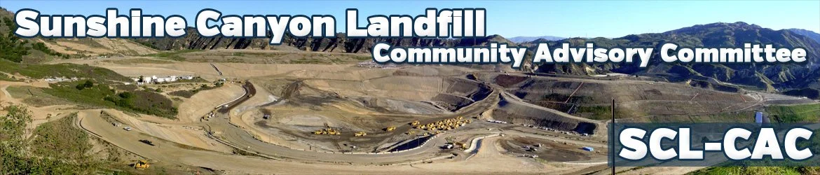
Significant Topographic Changes at Sunshine Canyon Landfill
https://topochange.cr.usgs.gov/
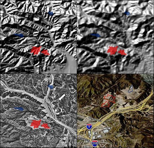
Topographic change due to landfill operations has been observed based on some of the features delineated by the elevation differencing and thresholding process. The resulting altered landforms from landfills differ from other anthropogenic activities in that much of the deposited material is not rock and soil that had been previously excavated but man-made material that has been transported to the deposition site.
The figure below shows the Sunshine Canyon landfill in Sylmar, California, an example of topographic change due to landfill operations. The operation and expansion of this landfill continues to be a controversial topic in the local area. The close proximity of the landfill site to a major transportation artery is a reminder that visual impacts of human geomorphic activities can be significant.